
Ordnance Survey Maps
Assessment
•

Patrick Meehan
•
Geography, Education
•
7th - 12th Grade
•
60 plays
•
Medium
Improve your activity
Higher order questions
Match
•
Reorder
•
Categorization
.svg)
actions
Add similar questions
Add answer explanations
Translate quiz
Tag questions with standards
More options
37 questions
Show answers
1.
Multiple Choice

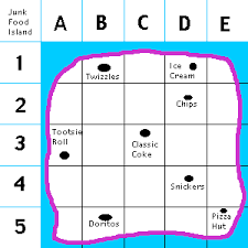
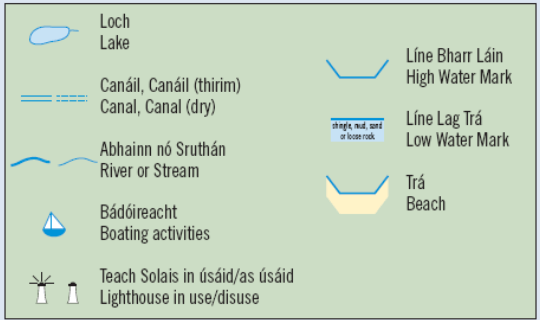
What is used to identify the symbols used on a map?
Map Title
Map Scale
Antiquities
Map Legend / Key.
2.
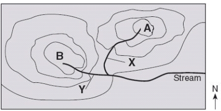
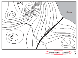
Multiple Choice
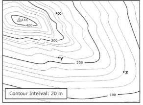
waterfall
steep area
flatter area
river
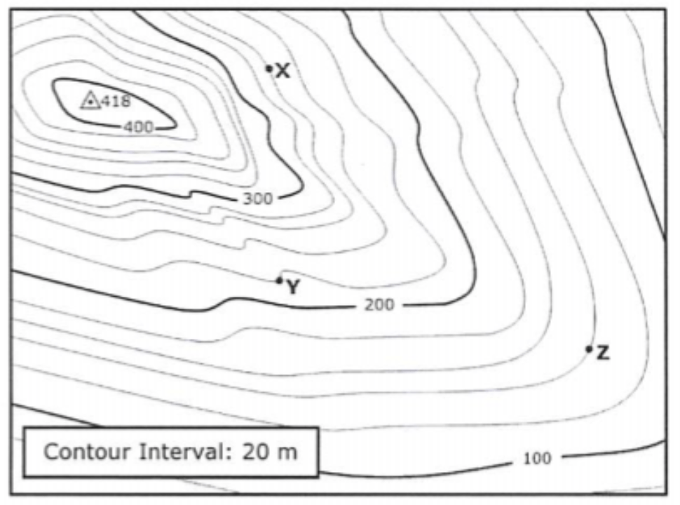
3.
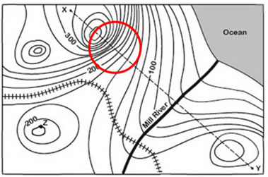
Multiple Choice
waterfall
steep area
flatter area
river
4.
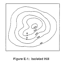
Multiple Choice
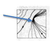
How many peaks does this mountain have?
1
2
3
4
5.
Multiple Choice
What is this?
Compass Rose.
Map Scale.
Map Legend / Key.
Antiquity
6.
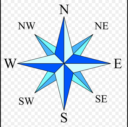
Multiple Choice

North
South
East
West


Explore this activity with a free account
Find a similar activity
Create activity tailored to your needs using

Longitude and Latitude
•
7th Grade
Latitude and Longitude
•
5th - 6th Grade
Latitude and Longitude
•
2nd - 5th Grade
Direction & Compass
•
7th - 10th Grade
Latitude & Longitude
•
6th - 8th Grade
Location and Coordinates Review
•
7th - 10th Grade
Mineral and Power Resources
•
8th - 10th Grade
Map Skills with Latitude
•
4th - 8th Grade