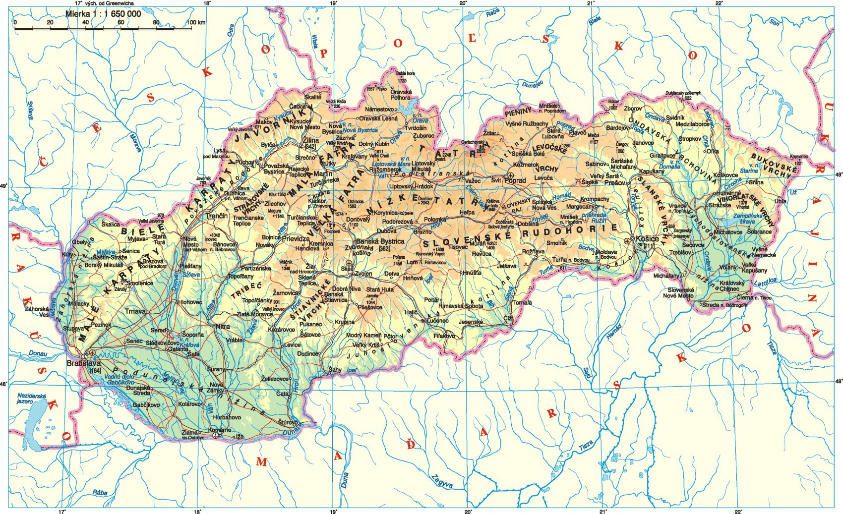
Vlastiveda mapa Slovenska
Assessment
•
jana jurankova
•
Social Studies, Geography
•
2nd - 4th Grade
•
12 plays
•
Medium
Improve your activity
Higher order questions
Match
•
Reorder
•
Categorization
.svg)
actions
Add similar questions
Add answer explanations
Translate quiz
Tag questions with standards
More options
10 questions
Show answers
1.
Multiple Choice
Mapa je zväčšené zobrazenie krajiny.
Pravda
Nepravda
2.
Multiple Choice
Na mape sú znázornené pohoria
zelenou
modrou
červenou
hnedou
3.
Multiple Choice
Na mape sú znázornené nížiny
zelenou
modrou
červenou
hnedou
4.
Multiple Choice
Hlavné mesto Slovenska je
Banská Bystrica
Košice
Prešov
Bratislava
5.
Multiple Choice
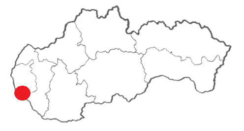
Ktorá mapa označuje Bratislavu?
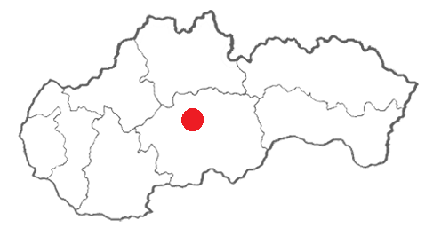
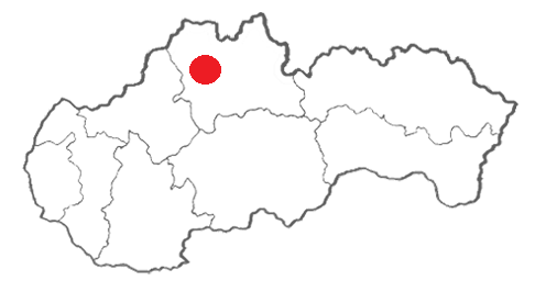
6.
Multiple Choice
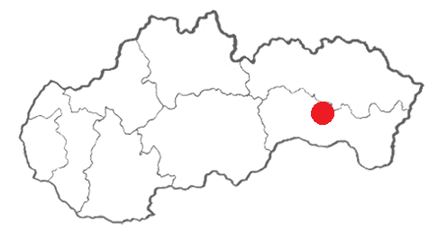
Ktorá mapa označuje Košice?



Explore this activity with a free account
Find a similar activity
Create activity tailored to your needs using
.svg)

Urban, Suburban, and Rural Communities
•
1st - 2nd Grade

Los Continentes
•
3rd - 4th Grade

Earth Science Regents Mapping
•
8th - 12th Grade

The Desert
•
KG

Democracia
•
10th Grade

Cultural Celebrations & Diversity
•
3rd Grade

Guatemala
•
6th Grade

Important People in History
•
4th Grade
