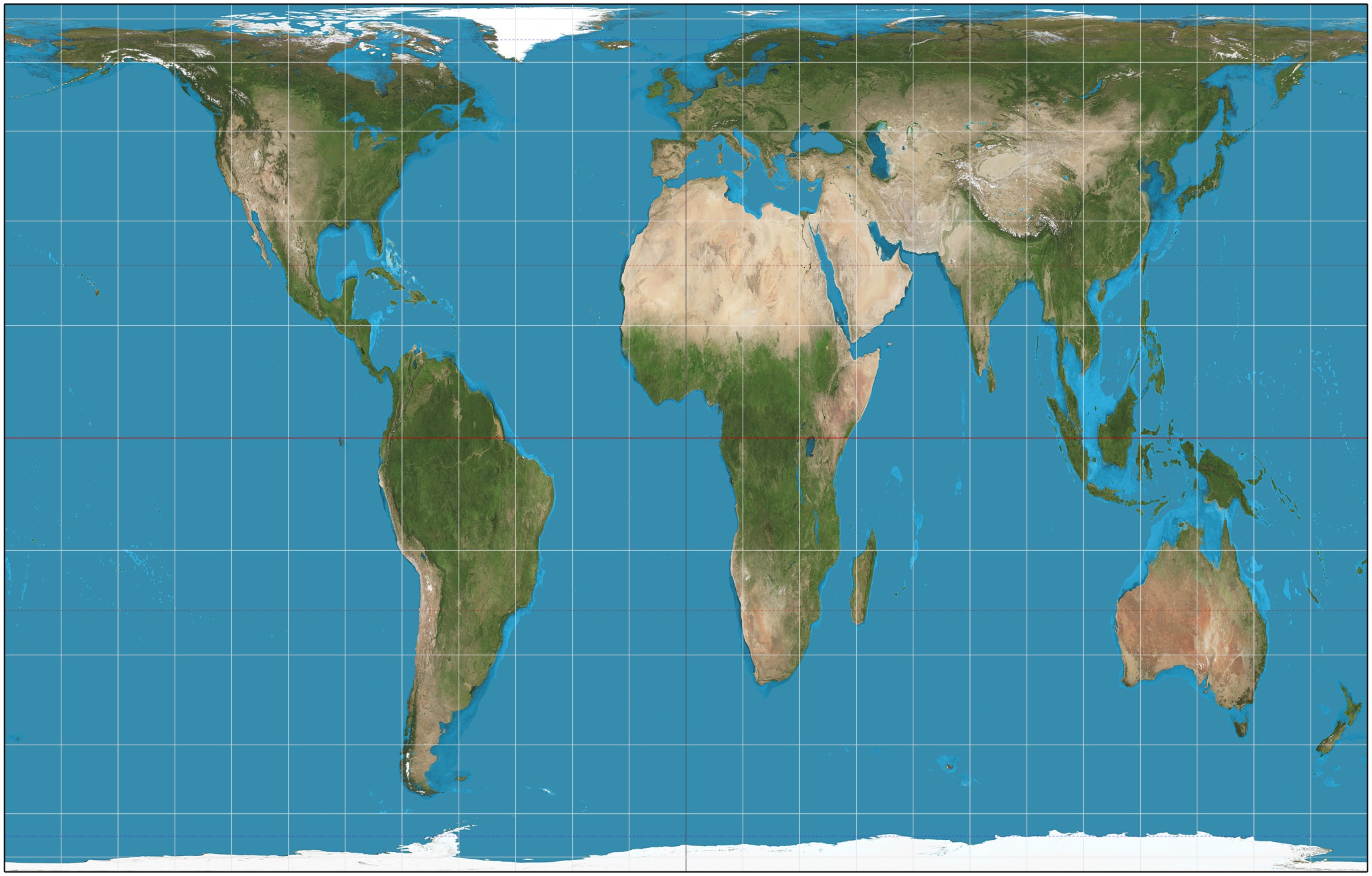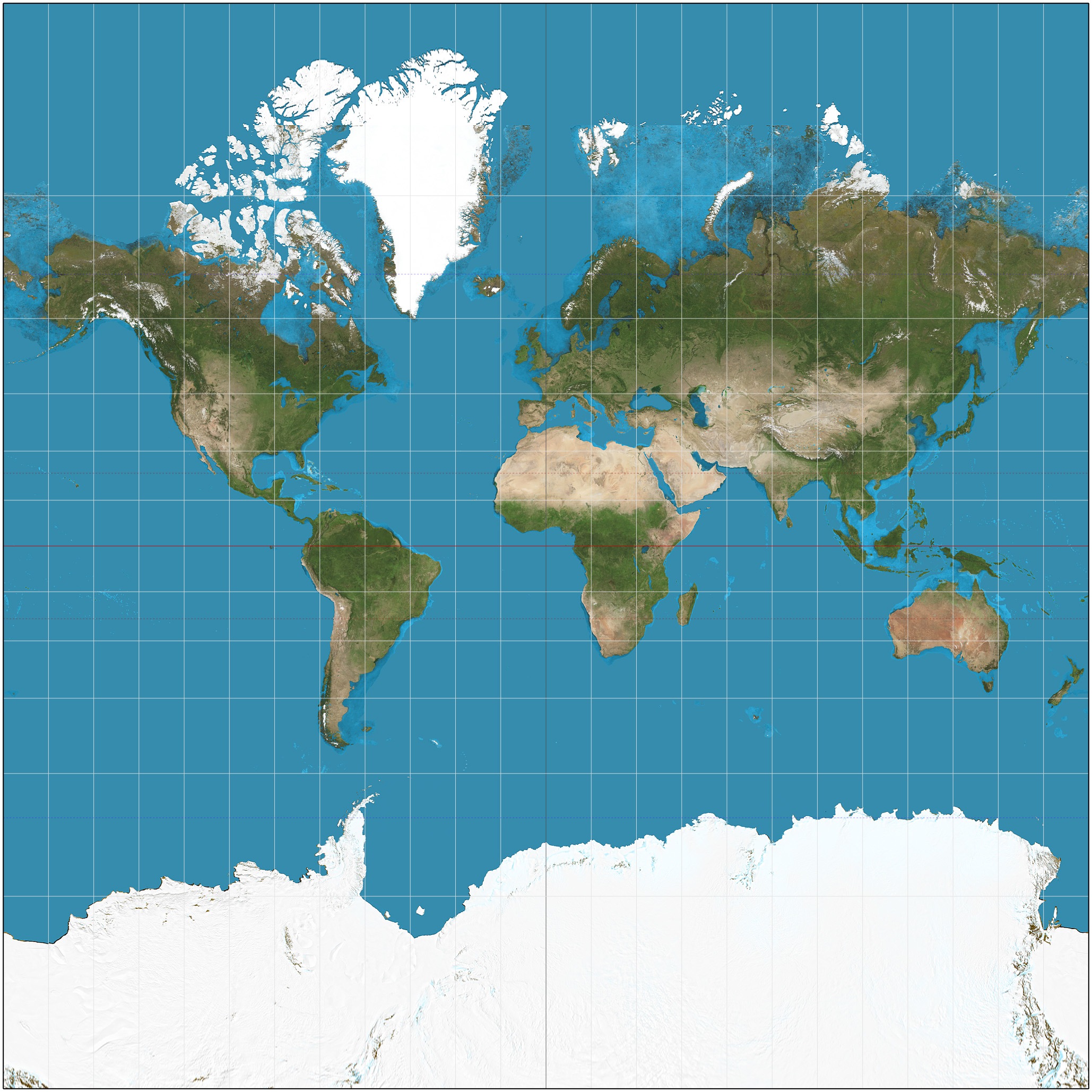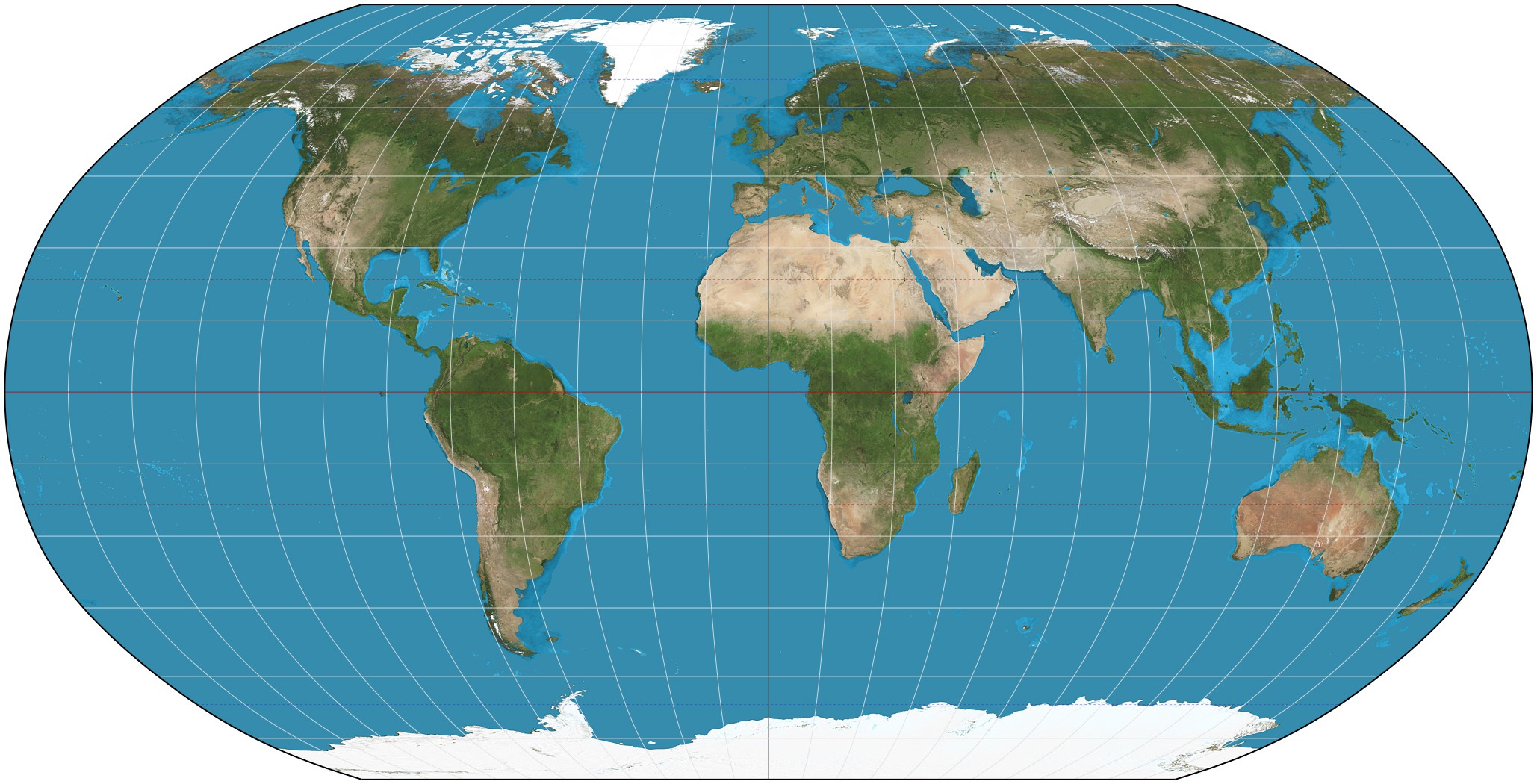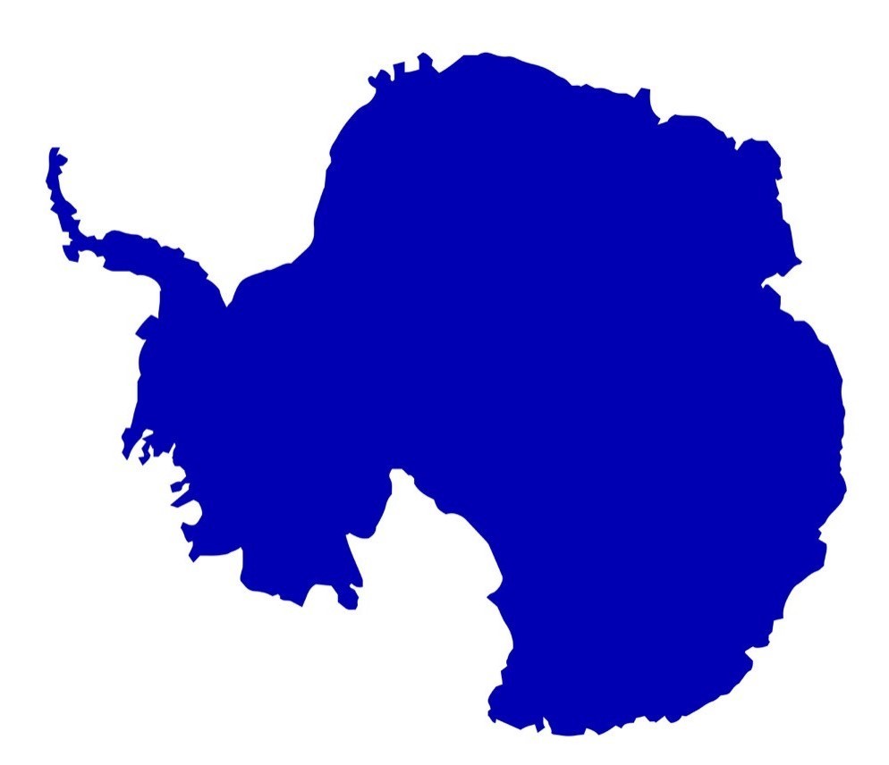
Map Projections
Assessment
•
Sinead Victory
•
Geography
•
4th - 6th Grade
•
1K plays
•
Medium
Improve your activity
Higher order questions
Match
•
Reorder
•
Categorization
.svg)
actions
Add similar questions
Add answer explanations
Translate quiz
Tag questions with standards
More options
19 questions
Show answers
1.
Multiple Choice
True or false: Globes provide a three-dimensional view of the Earth. They provide the most accurate view of the world, but have limitations in their use.
True
False
2.
Multiple Choice
True or false: Globes show more detail and are easier to transport than maps are.
True
False
3.
Multiple Choice
True or false: All world map projections create distorted images of the Earth to some degree. These distortions relate to size, shape, direction, and distance.
True
False
4.
Multiple Choice
True or false: The cartographer’s purpose and the projection used to create a map influence what information is accurate and what is distorted.
True
False
5.
Multiple Choice
A way of representing the spherical Earth on a flat surface:
Projection
Distortion
Cartographer
6.
Multiple Choice
A geographer who makes maps:
Cartographer
Distortion
Projection

Explore this activity with a free account
Find a similar activity
Create activity tailored to your needs using
.svg)

Latitude and Longitude
•
5th - 6th Grade

Latitude and Longitude
•
2nd - 5th Grade

Ap Human Basics
•
9th - 10th Grade

Map Skills
•
2nd - 4th Grade

Map Skills
•
6th Grade

Location and Coordinates Review
•
7th - 10th Grade

Map Skills with Latitude
•
4th - 8th Grade

Continents and Oceans Quiz
•
9th - 11th Grade


